
Montegiorgio
Montegiorgio, a picturesque town in the Marche region, is famous for its rich history and vibrant cultural life. Its historic center is a jewel of Renaissance architecture, enhanced by period churches and palaces. Its hills offer breathtaking views and the opportunity to explore the surrounding countryside.


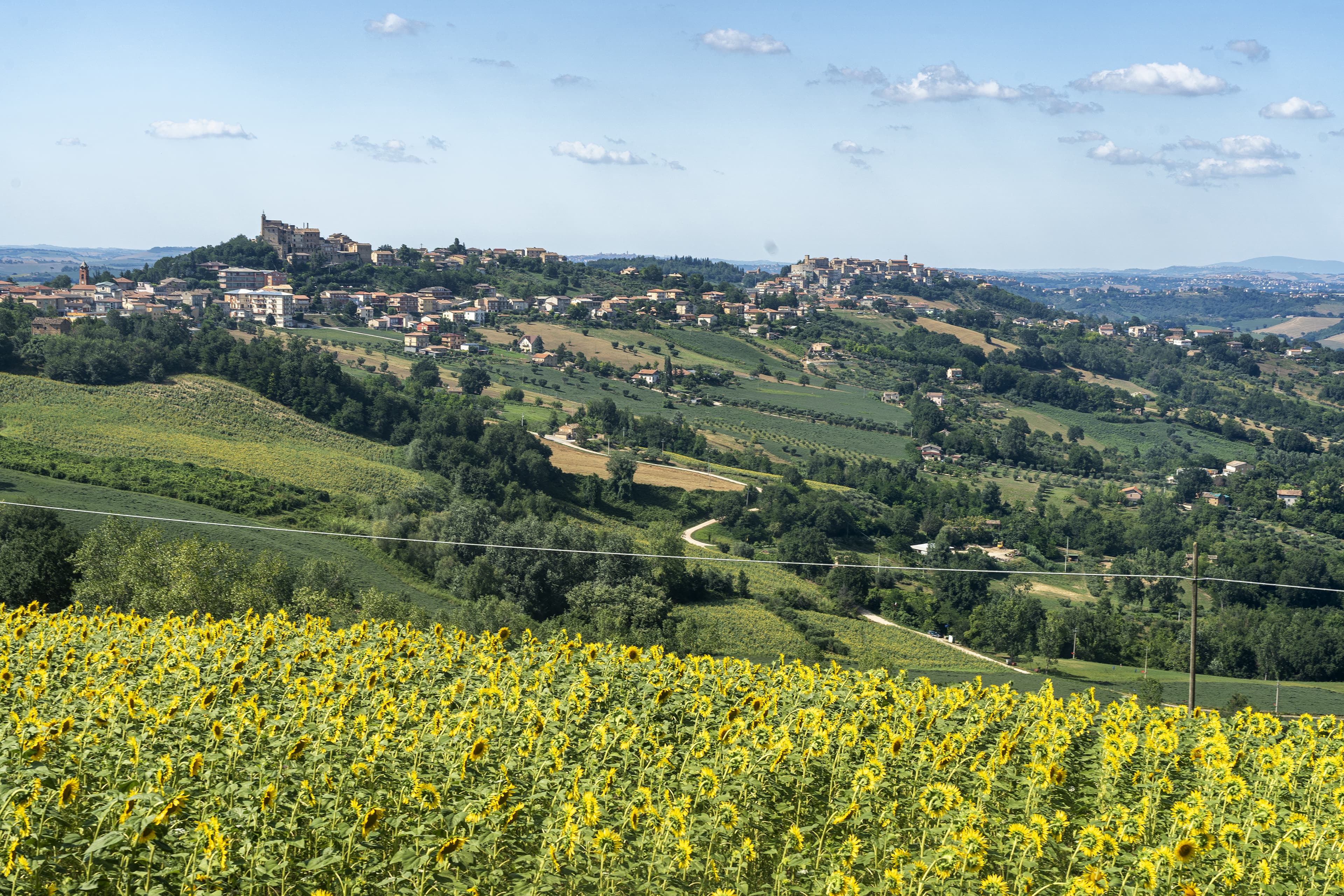
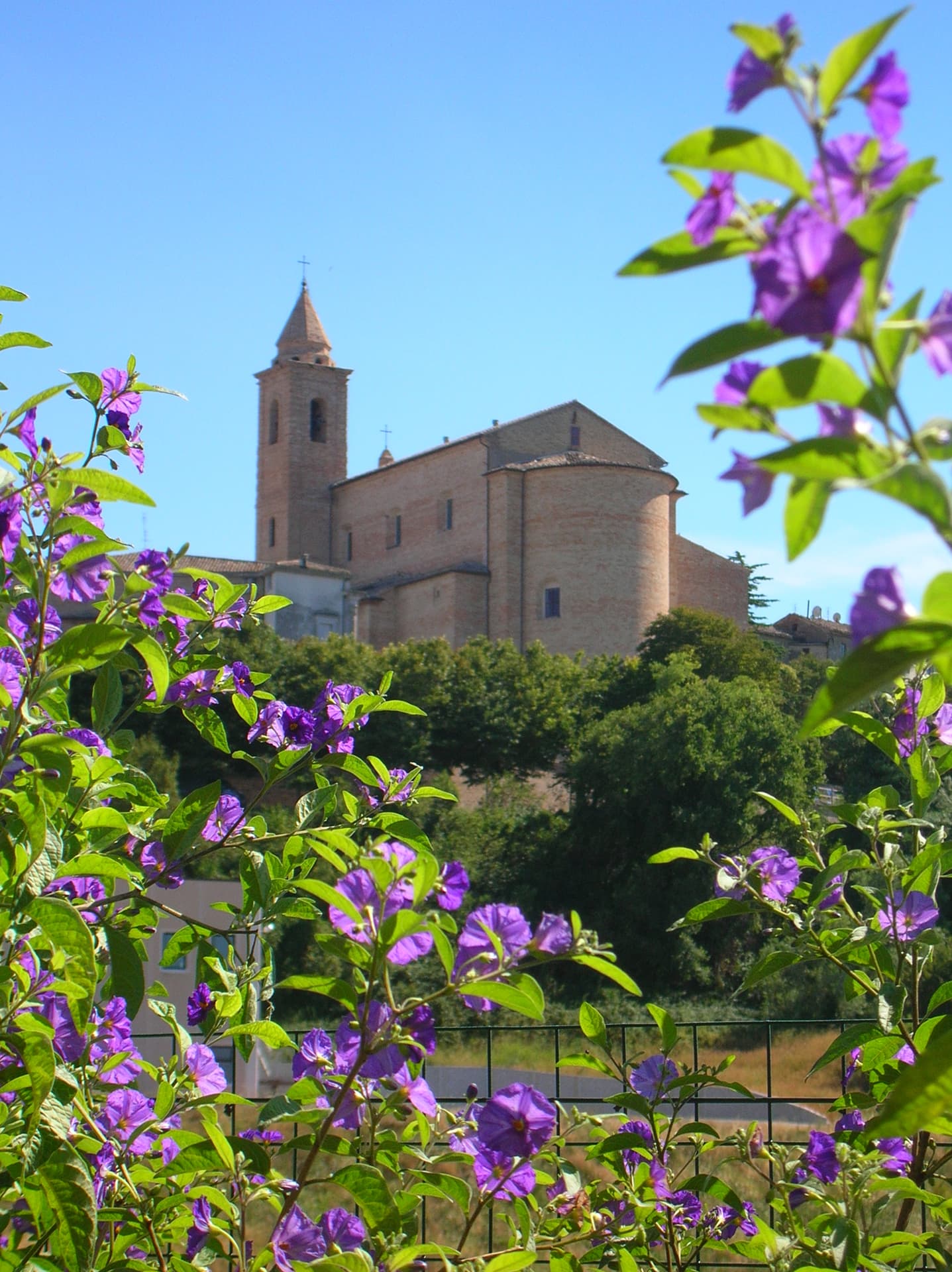
The territory of the municipality of Montegiorgio covers more than 47 square kilometers in the center of the middle Tenna Valley. The primitive built-up area stands on a hill that reaches a maximum height of 411 meters above sea level. From the top of the town, commonly called “Pincio,” there is a wide panorama that stretches from the Adriatic Sea to the Sibillini Mountains, from Mount Conero to the Gran Sasso d’Italia.
The urban layout of the historic center preserves the original medieval structure, which follows the altimetric trend of the three slopes of the hill on which it stands. The present form of the town originated with the Farfensi, whose presence is documented in the years 1026 – 1054. These Benedictine monks welcomed the first inhabitants of Montegiorgio around the Church of S. Maria Grande (today’s S. Francesco) and the convent, bringing about, with the passage of time, economic prosperity and demographic increase.
Montegiorgio’s history has been characterized by the quest for the greatest possible autonomy from the central authority represented by nearby Fermo. Despite its membership in the Fermo League, in fact, Montegiorgio sided with Emperor Frederick II, who rewarded it by granting it exemption from dependence on Fermo: the municipality remained loyal to the emperor and independent until 1244, when it was returned to Fermo as a reward for loyalty to the Church.
The 14th century saw Montegiorgio involved, alongside Fermo, in the struggles between the Empire and the Papal States; the town suffered the brief tyranny of Mercennario, and then of Rinaldo da Monteverde.
In 1433 the town, like others in the Marca, submitted to Francesco Sforza but impatience with Sforza rule generated numerous skirmishes between Montegiorgio and Fermo until at least 1486.
Later the city followed the general events of the Papal States. With the unification of 1860 it became part of the Kingdom of Italy. In 1900 it acquired the territory of Alteta, until then an autonomous municipality.
Monuments, churches
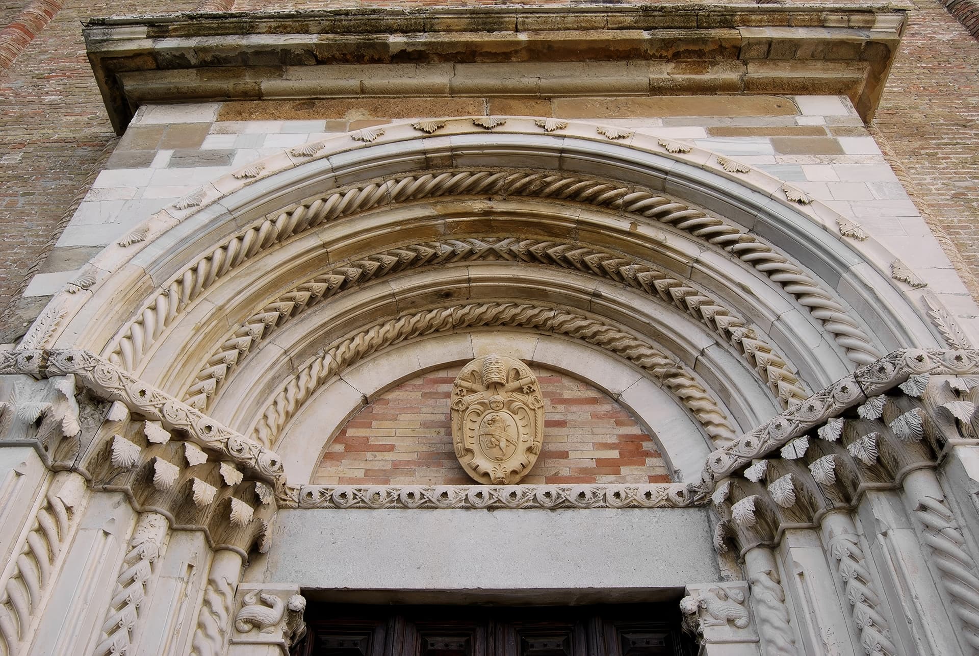
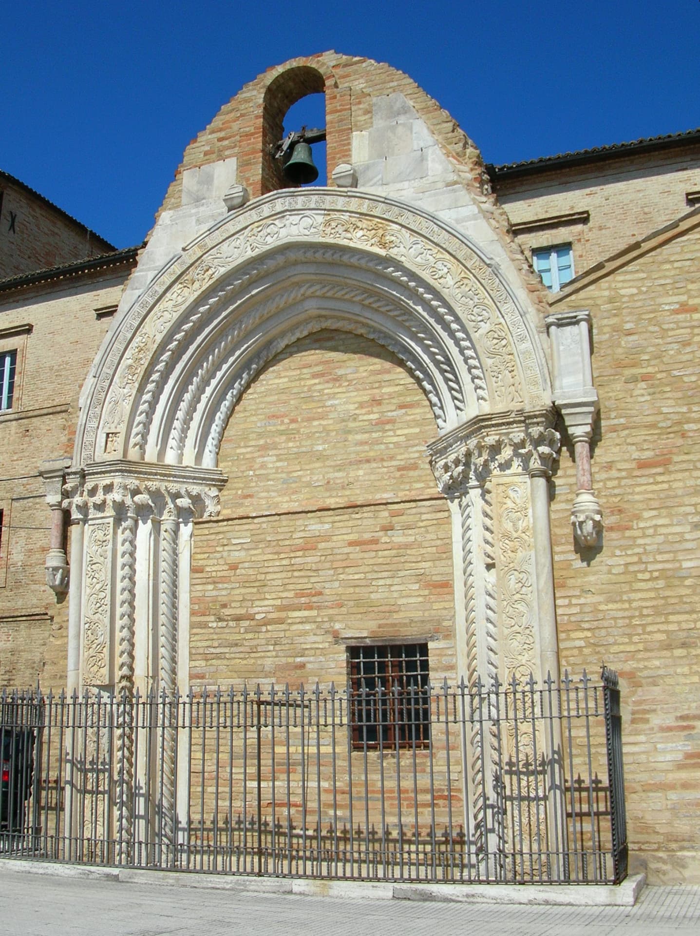
- Church of St. John the Baptist and Benedict
- Church of San Francesco
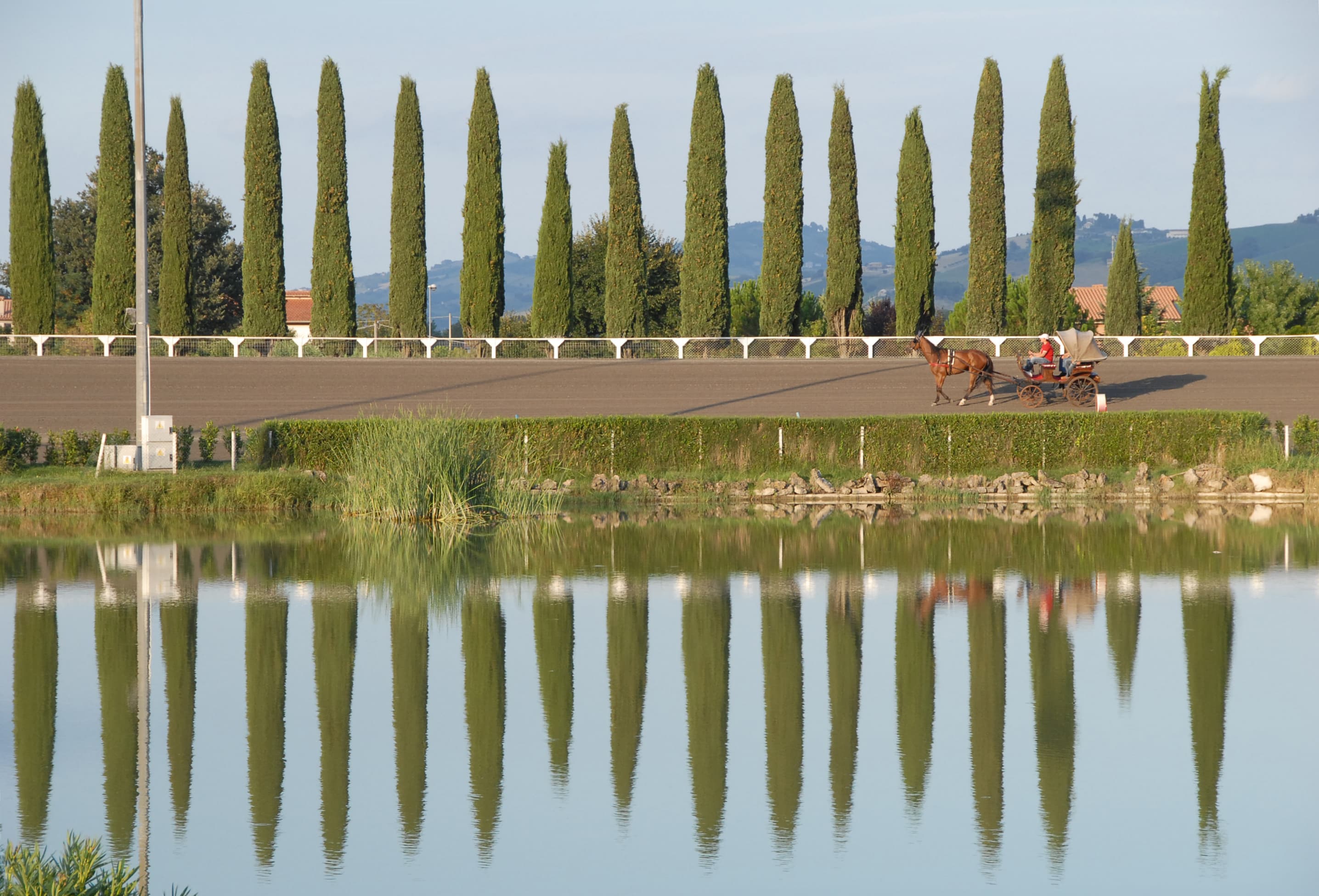
- St. Paul’s Hippodrome
- Former Franciscan Convent
- Passari Palace
- St. Augustine’s Palace
- Arch of 300
- Sacristy of San Salvatore
- Church of St. Mary of the Angels
- Matteotti Square
- St. Michael’s Church
- Church of St. Andrew
- St. James Church
- Church of Sts. Nicholas and Savino
- Former Washhouse
- St. Mary of the Moon Church
- Capuchin church and convent
- Fortified mill
- Church S. Maria delle Grazie (hamlet of Cerreto)
- Church of S. Angelo in Montiliano (loc. Piane)
- Villa Fontebella
- Church of San Zenone (hamlet of Alteta)
- Church of St. Michael and St. Dorothy (hamlet of Cerreto)
The Mediterranean Diet
The Mediterranean Diet has been sanctioned by UNESCO as a “cultural heritage of humanity.”
The Piceno Laboratory of the Mediterranean Diet, an association based in Montegiorgio, was established to enhance the Mediterranean Diet understood as an ecosystem and lifestyle of a territorial community.
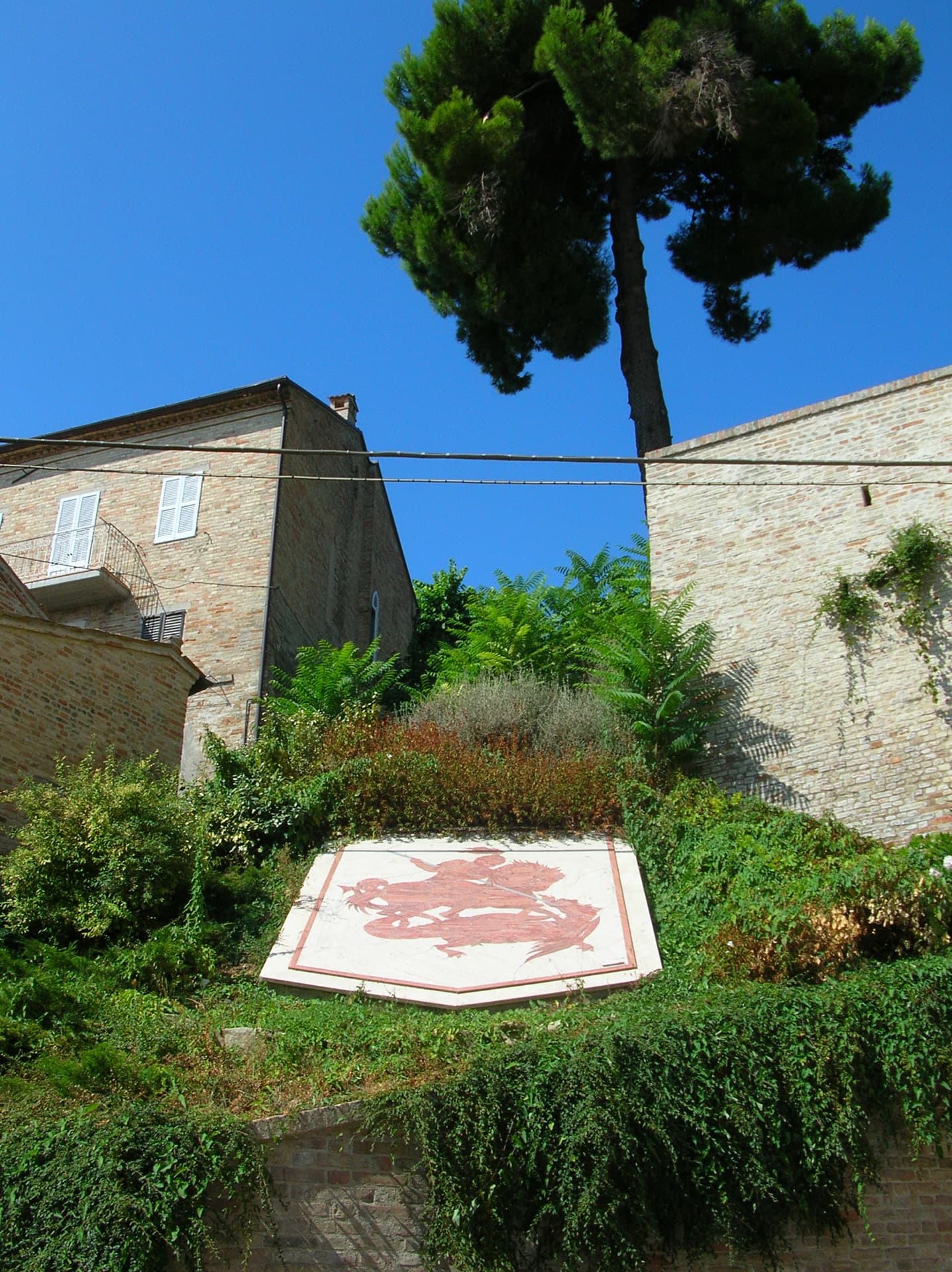
As a plaque affixed near the Church of St. Francis testifies, Montegiorgio was one of 16 locations from 7 nations, from 3 different continents, studied in the Seven Countries Study between 1959 and 1991. The survey originated indirectly with the studies of Prof. Flaminio Fidanza, a native of Magliano di Tenna, who was part of the Seven Countries Study team led by Ancel Keys. Fidanza in later years was among the curators of monitoring and data collection. Thirty years of research have led to the conclusion that the Mediterranean Diet is the lifestyle that allows people to live better and longer. Montegiorgio has been studied as a “location where we manifestly eat the Mediterranean Diet way,” and for the Seven Countries Study examinations were conducted on a sample of 719 Montegiorgio residents. It is undeniable that the dietary regimen studied in Montegiorgio, more than in other places, was a significant example of the Mediterranean Diet, not only with regard to food but also to the way of living and thinking in a healthy and welcoming environment such as the valleys of Terra di Marca. Thanks to Professor Fidanza’s studies and to the 719 citizens of Montegiorgio who, strengthened by our traditions, participated in the scientific examinations, Terra di Marca was the protagonist of what can be considered the greatest discovery in the biomedical field in the last sixty years both in scientific terms and in terms of its social, environmental, economic, tourism, cultural and health consequences.
Local traditions
Fun facts and anecdotes: Montegiorgio is called Muntijorgio cacionà because the town’s specialty was the production of calcioni con fava beans, which each family prepared at Carnival time
Punti chiave
Ecco alcune informazioni chiave
Gallery
Info and contacts
Comune di Montegiorgio

Dove trovo gli uffici per richiedere le informazioni turistiche?
Tourist Office of Montegiorgio
Piazza Matteotti, 33 – 63833 Montegiorgio (FM)
Phone: +39 0734.962067
Email: ramona.ferri@comune.montegiorgio.fm.it
Website: https://www.comune.montegiorgio.fm.it
Opening Hours: Monday through Friday 10:00 a.m. to 1:00 p.m., Tuesday 3:30 p.m. to 5:30 p.m.
Quali sono le aree di sosta Camper?
MUNICIPAL CAMPER PARKING AREAS
RV parking area in Via Dante Mattii, Piane di Montegiorgio.
Coordinalte GPS N 43°06’45” E 13°33’50”
Distance from center: 150mt
Services: lighting, drainage.
Map
Richiedi informazioni
Contattaci utilizzando il modulo seguente.